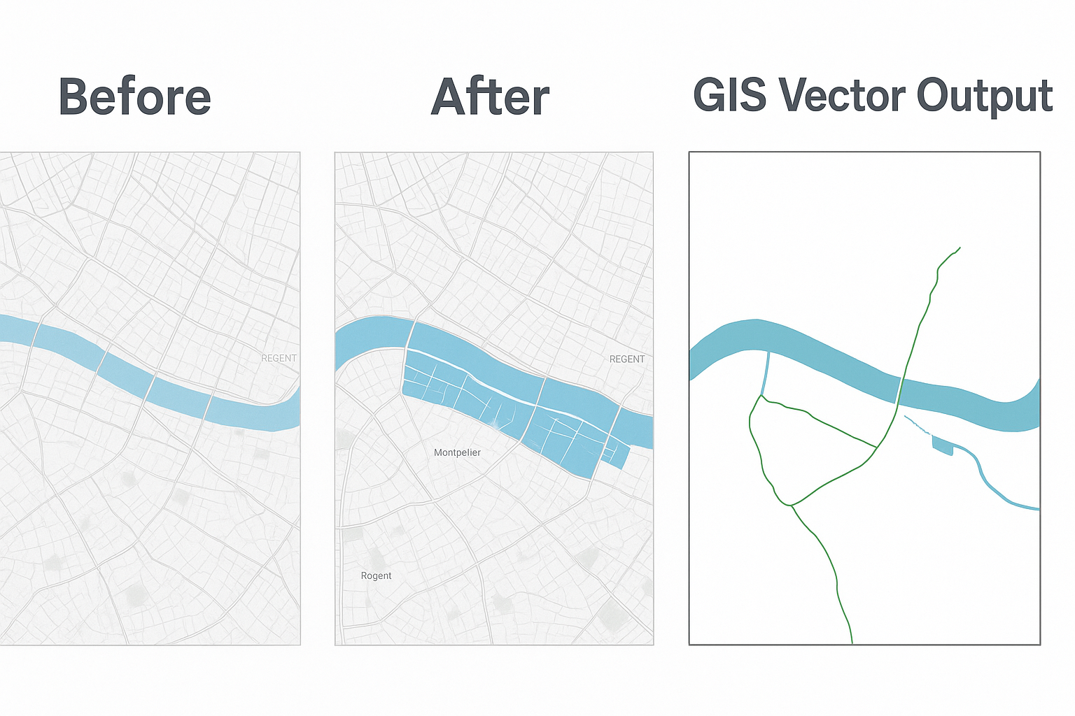
Upload a PDF or scanned map and instantly extract clean, GIS-ready water and vector features — all processed in your browser.
Import any PDF or scanned map directly into your browser.
Advanced algorithms remove legends, margins, and title blocks.
Identify and convert lakes, rivers, and water boundaries automatically.
Download GeoJSON or SHP files for use in your mapping workflow.